Photos by Michael S - Please click on photos to see a larger one
All Health Walks have been cancelled but Jimmy and Michael turned up to walk.
We agreed a provisional route and set off
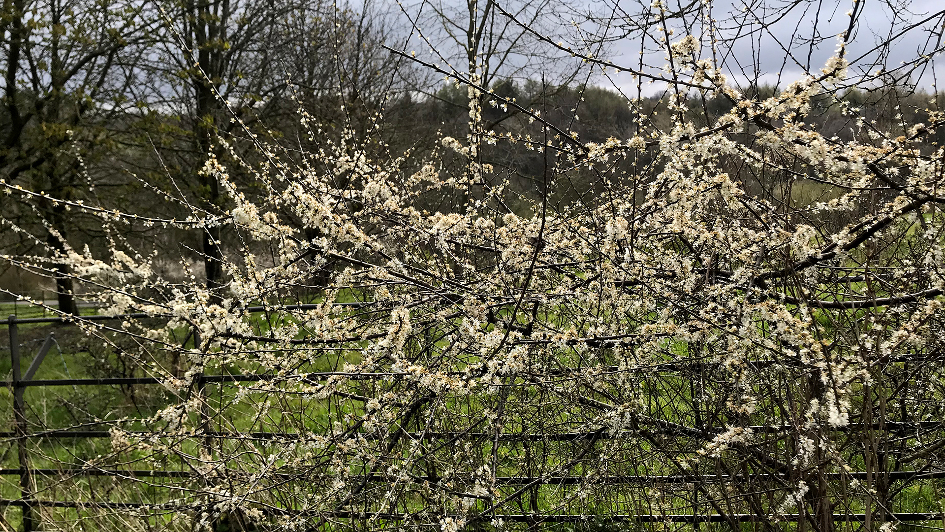
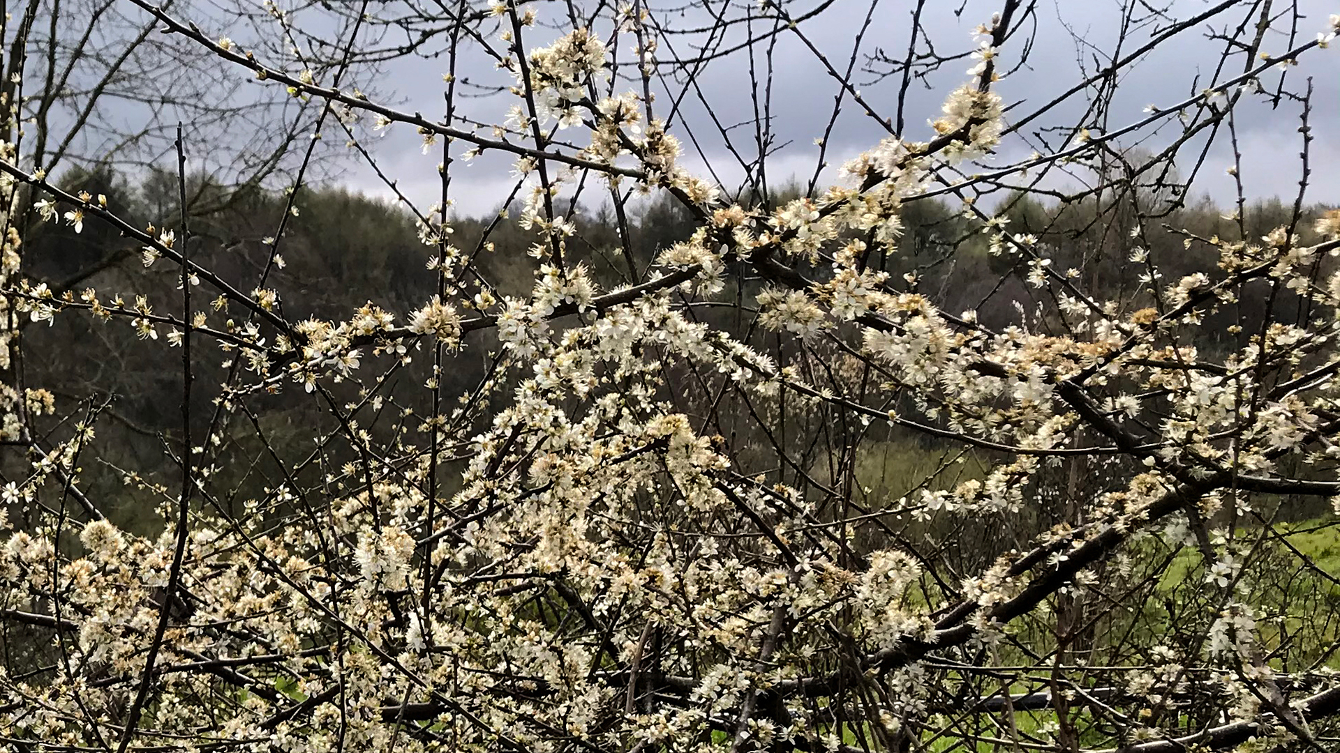
Photo 1 Photo 2
down Snake Hill - Blackthorn Blossom
We walked round the Picnic Area and climbed up the Long Steps to the Lake and walked round. As we walked along the eastern shore we saw a Heron come into land in the north east corner.
We walked up the steps on to Cam Lane, walked to Hawks Clough and dropped down into Green Wood, round he back of ASDA and back up on to Cam Lane.
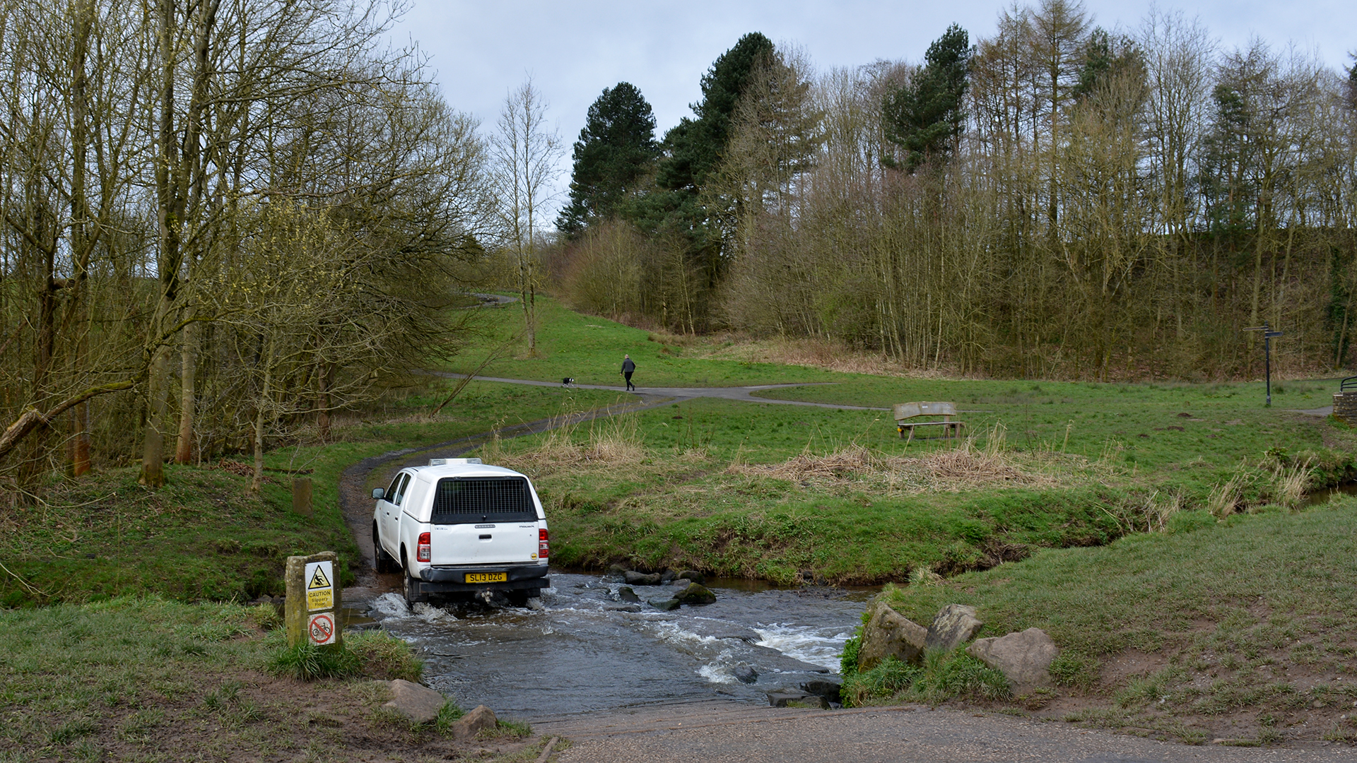
We turned left and walked to the end of Cam Lane, crossing Sheephill and entered Glenmore walking through Sheephill Wood to come out on Sheephill. We crossed the road and walked along the path, over the road bridge and entered the Park again walking over the Peter Wragg Bridge
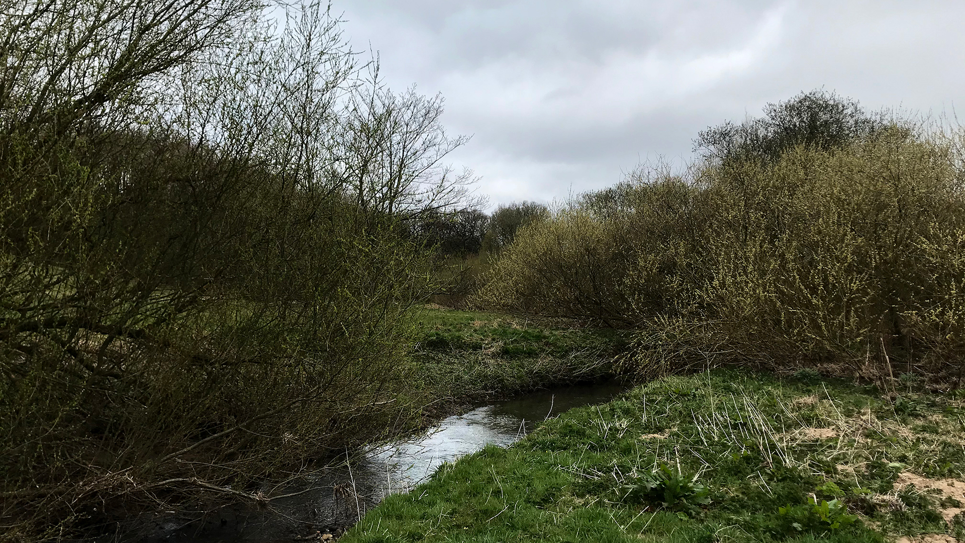
Photo 3
and along the river
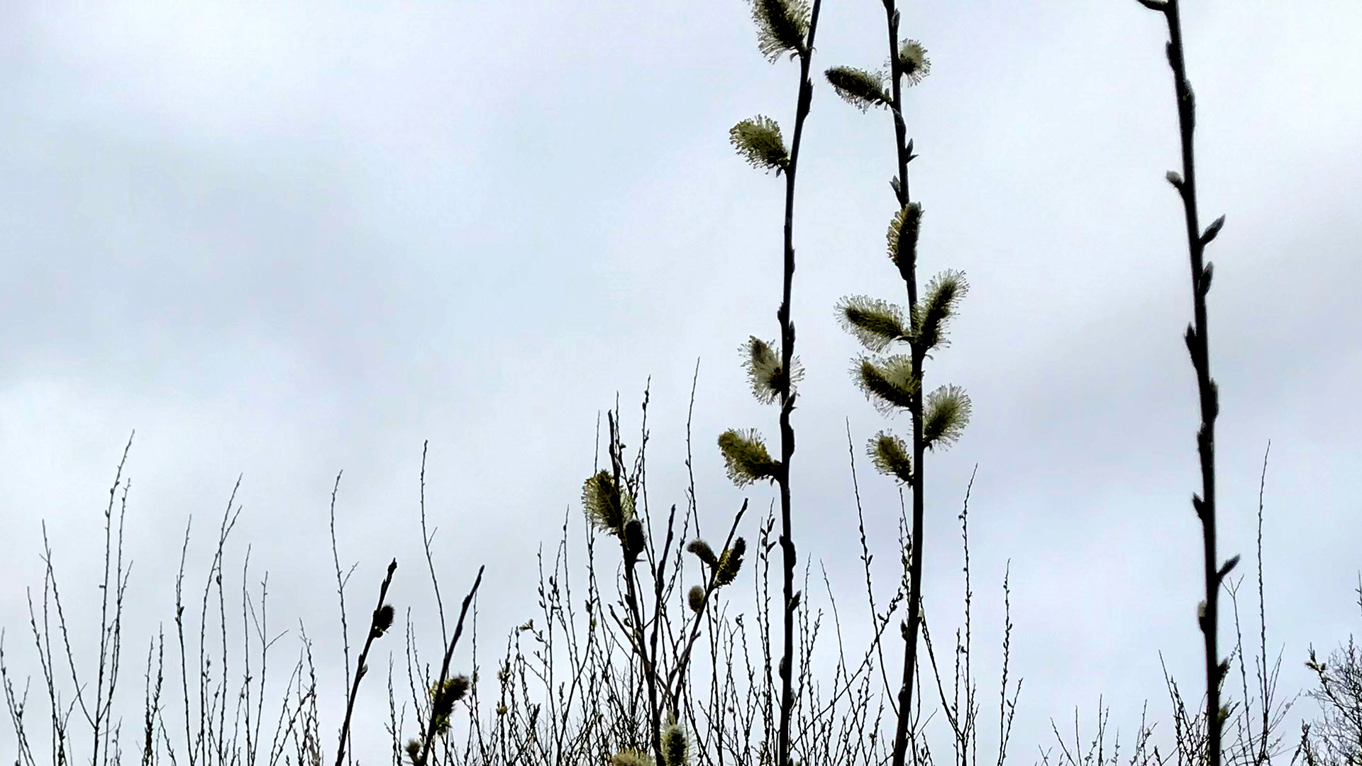
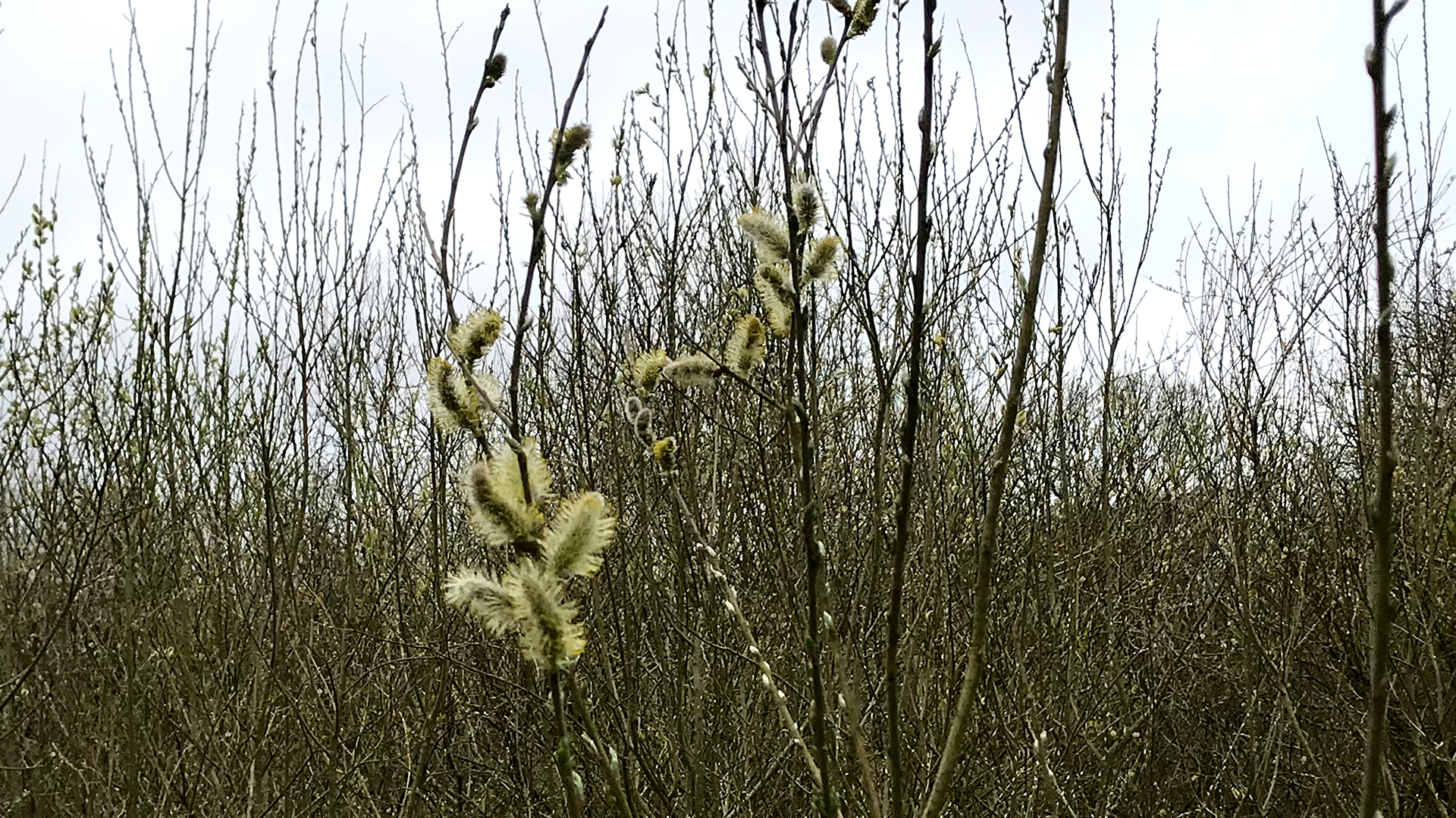
Photo 4 Photo 5
Pussy Willows just before we came out on the Cycle Path
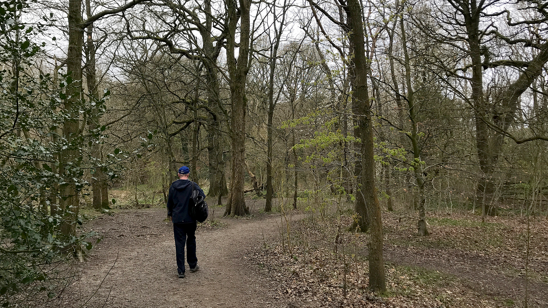
Photo 6
to walk back to the river

Photo 7
passed the Stepping Stones
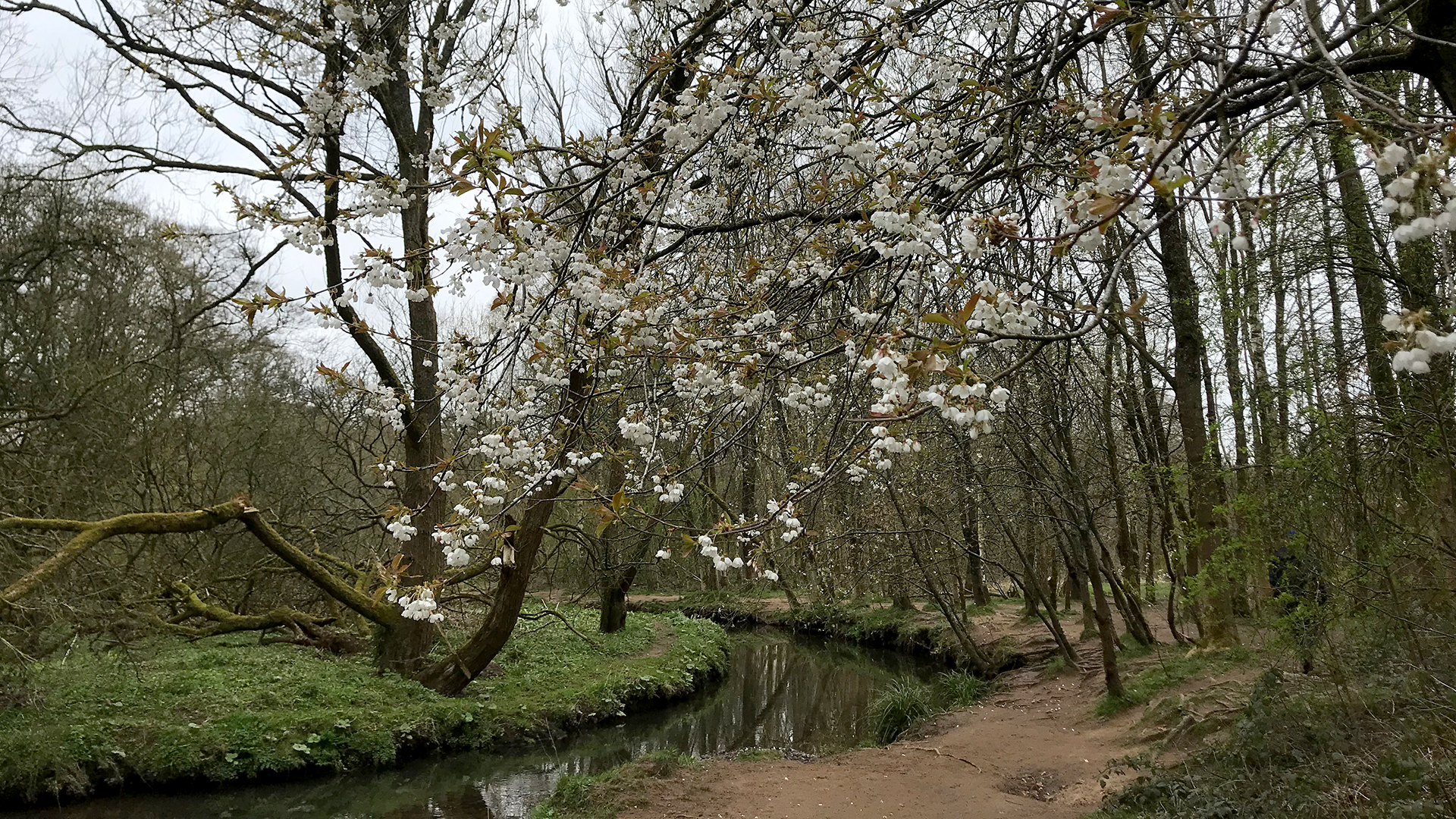
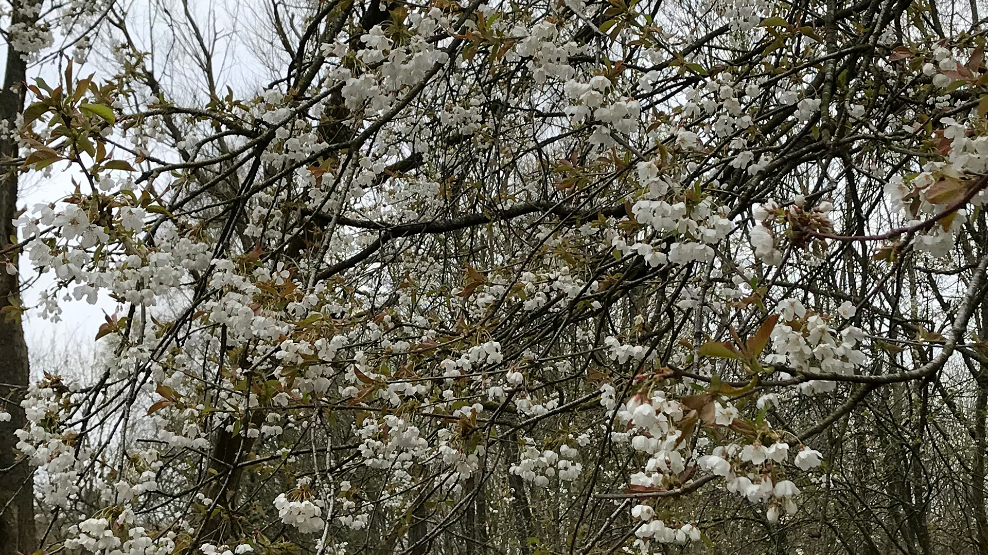
Photo 8 Photo9
More blossom, Wild Cherry?
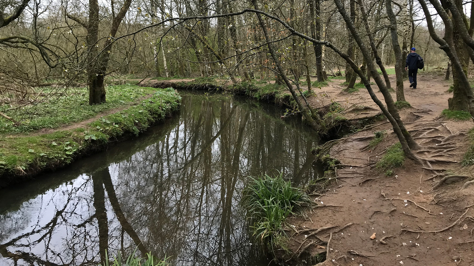
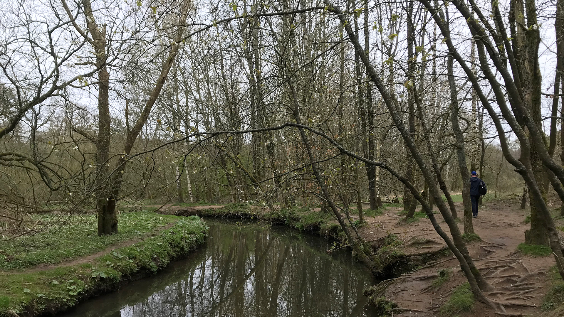
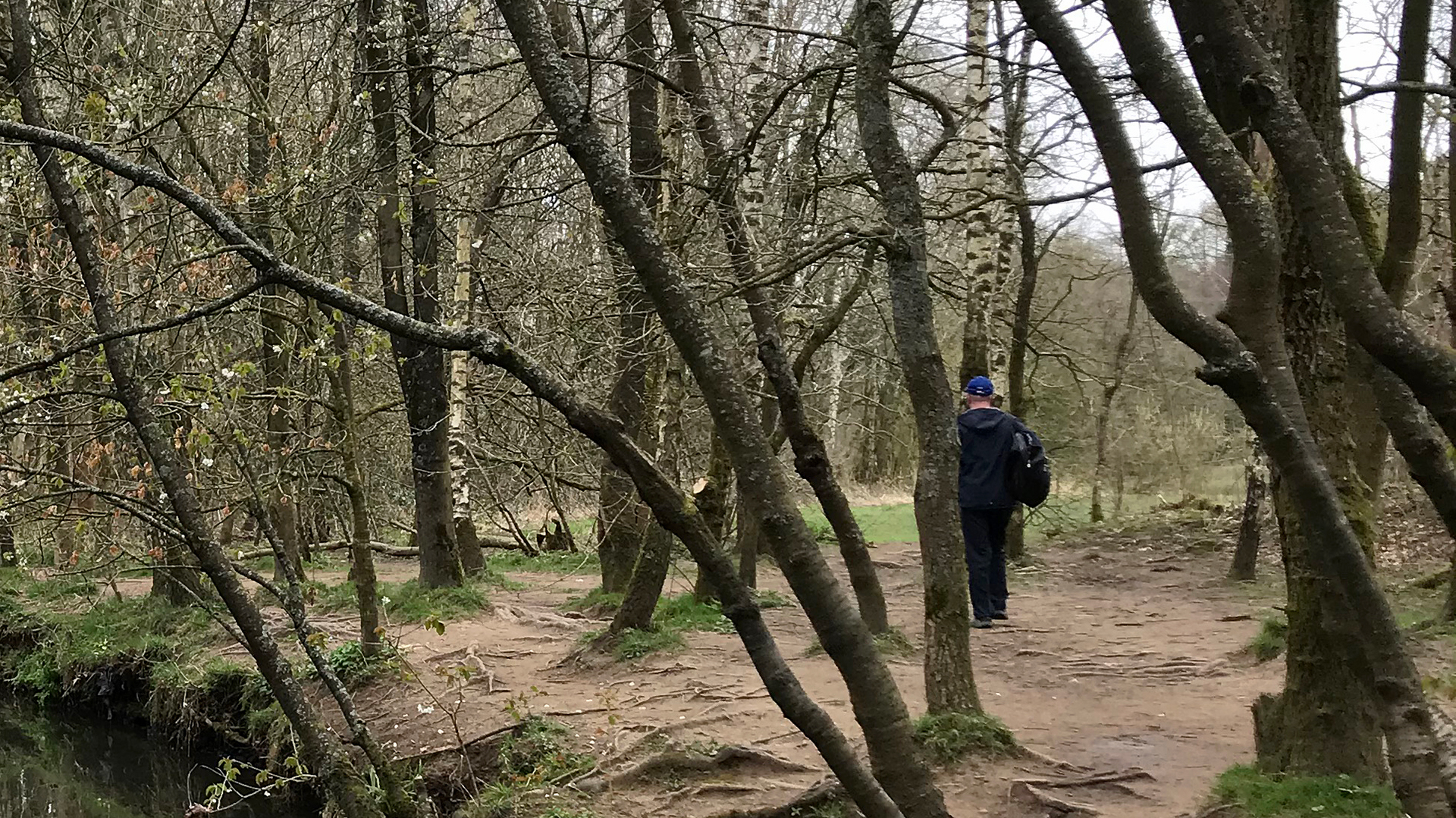
Photo 10 Photo 11 Photo 12
Continuing along the bank
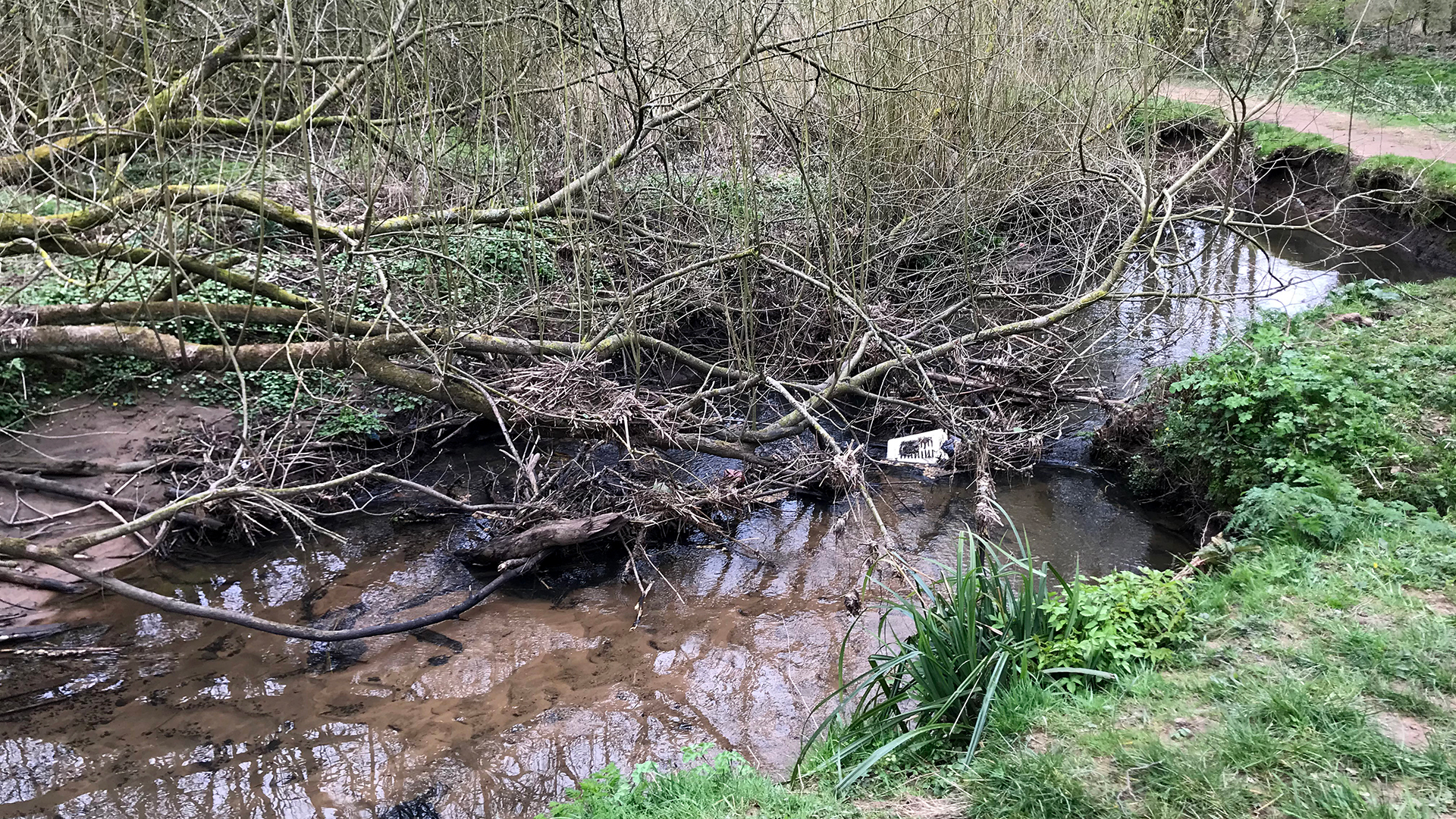
Photo 13
we came across
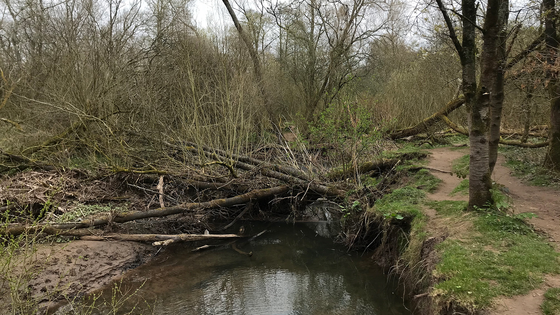
Photo 14
many natural
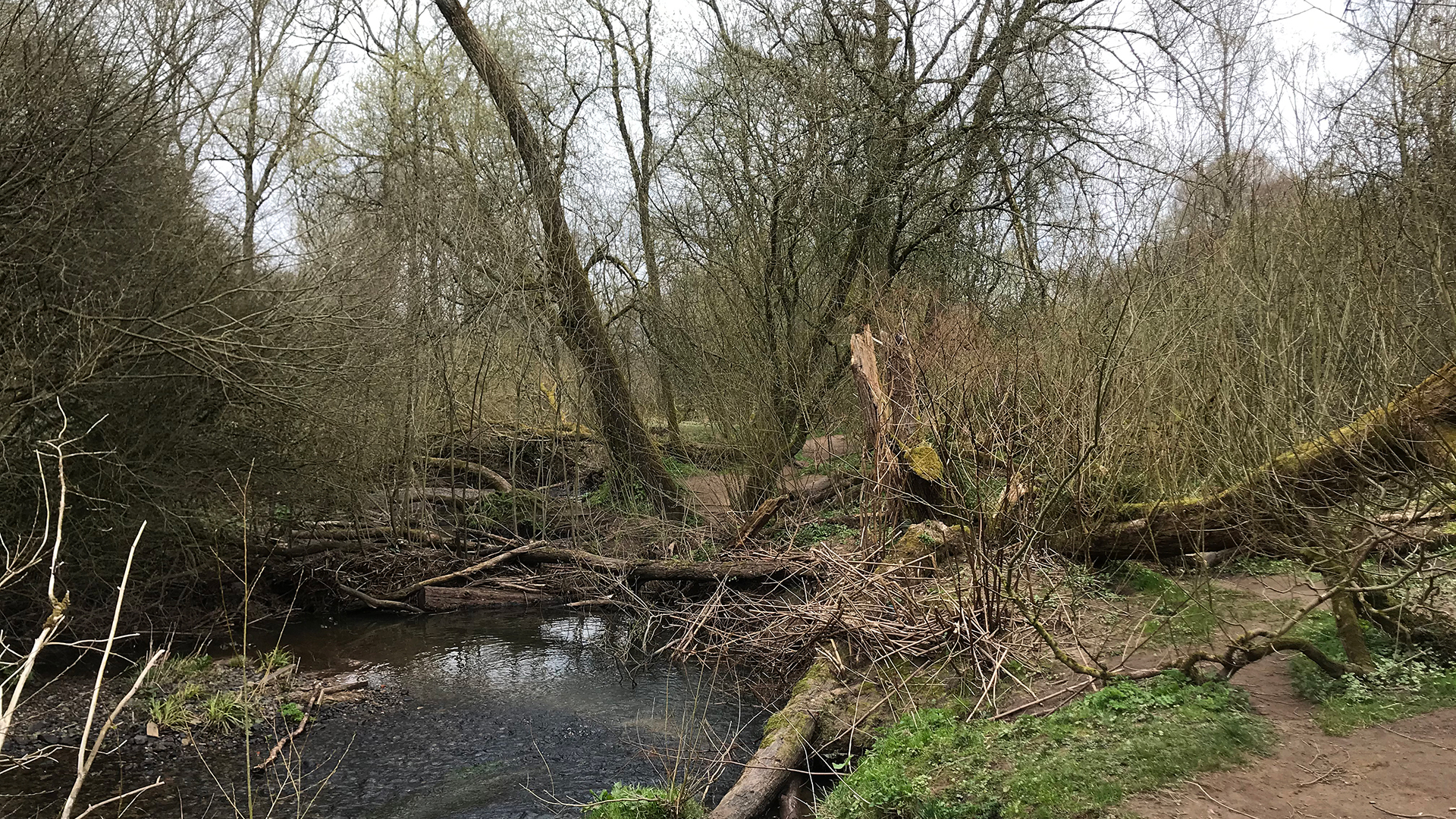
Photo 15
flood barriers,
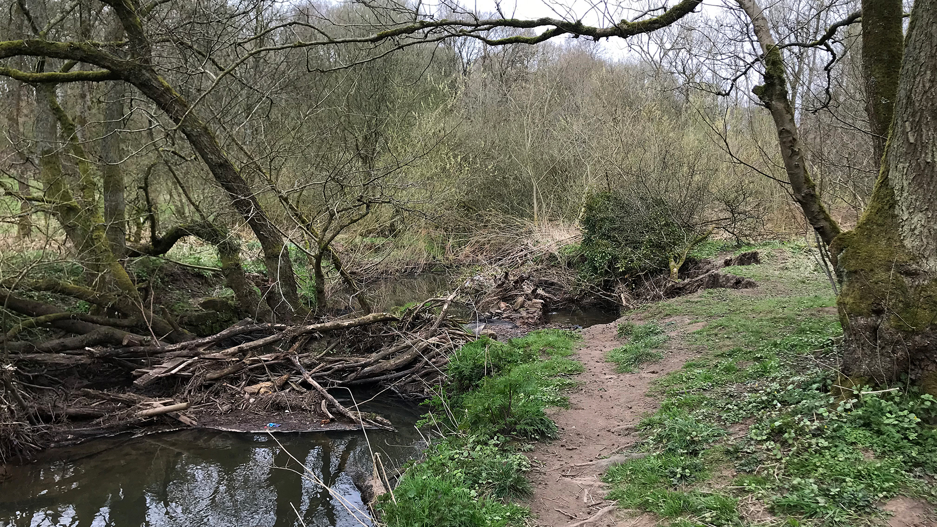
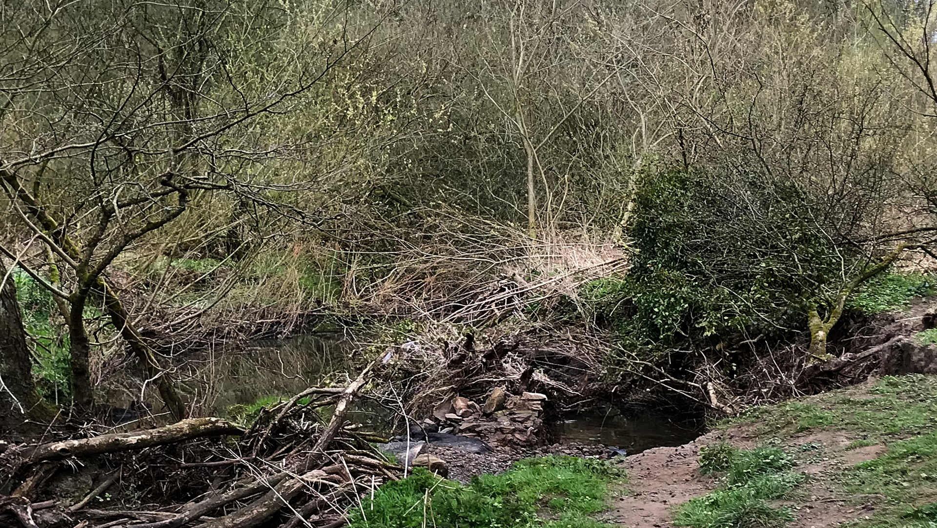
Photo 16 Photo 17
they look all wrong, interrupting the flow but they are allowed to remain to calm the flood waters on their way down the Lostock
3.41 miles walk
Photo 18
Michael's bike. I had ridden from home - 2.69 miles, to avoid Police blockades, only allowed to use the car for shopping etc.. It is downhill most of the way and I freewheeled down, Berkeley Drive, Nell Lane, Lydiate Lane,Fowler Lane and some of Croston Road - 3.37 miles
No Elite walk today
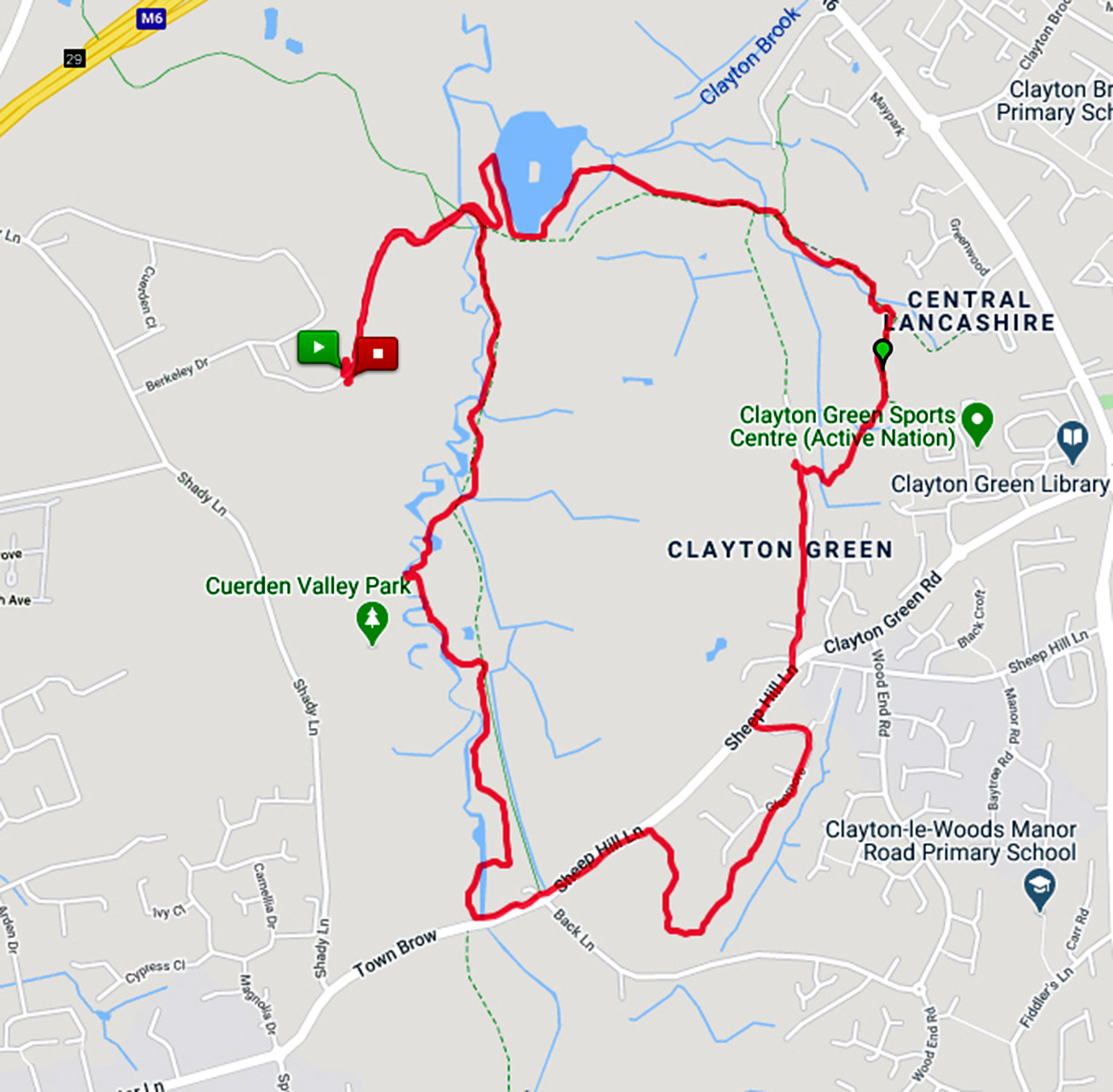
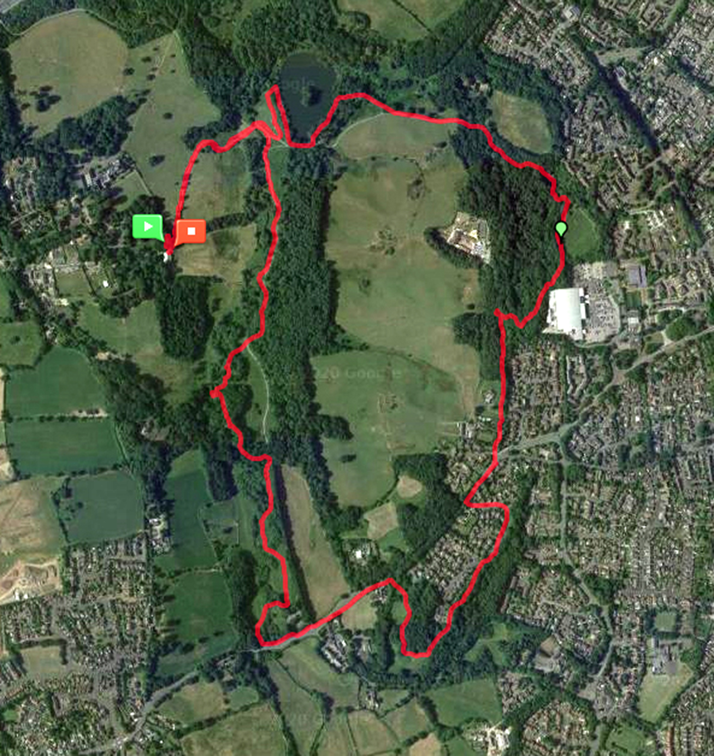
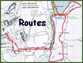
Today's walks (Red Main Group, Green Short Walk Option Group). Not the usual map but maps from MapMyWalk
Where there are green arrows on the red route it means the Elite walkers had followed the main >> or the main group had followed the Elite walkers >>. similarly for the blue arrows
Compiled by Michael Swarbrick with grateful to Jimmy for bumping into me, not literally he kept 2 metres away. The walk was 3.4 miles
café
Cam Lane
Cam Lane Cottage
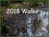
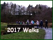
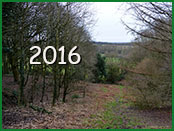
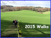
The Chorley Walks.
Cinder Path
Cock Cabin Wood
Cuerden Hall
Cuerden Valley's Health Walk
Lower Kem Mill
Hawksclough Farmhouse
Tree Sculpture
Park
Pinetum
Ponderosa
Visitors Centre